

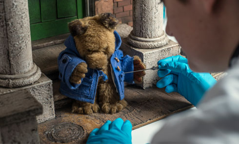

About this object
-
Maker:
-
ID:
27.120/1av
Production date:
1889-1891
-
Location:
In Store
-
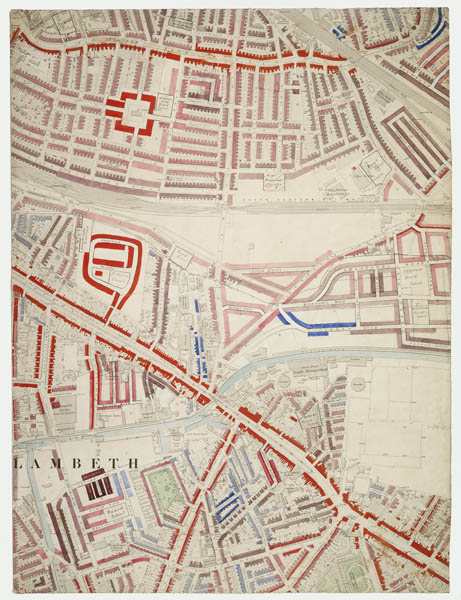
This map, identified as 'Section 48' forms part of the original hand coloured Descriptive Map of London Poverty compiled by Charles Booth and his assistants. The large map, adapted from an Ordnance Survey map of London from 1869 has been cut into 60 sections, possibly following its donation to the London Museum in 1927 by Sir George Duckworth, (1868-1934) one of Booth's assistants and older half brother to the author Virginia Woolf.
< ...Read more -
Measurements
H 640 mm; W 483 mm (overall)
-
Materials
linen; paper; ink
-
Last Updated
2024-03-14
?
Record quality:
What is this?
Not every record in Collections Online is complete. Some have low quality images designed purely for recognition, while some have been catalogued only to a basic standard. This graphic is designed to give you an impression of the quality of data you can see. 100% meets all our current data standards and has a high quality image, 20% is a basic record with no image. Individual record quality can change over time as new photography is carried out and records are worked on.
X