


MAP
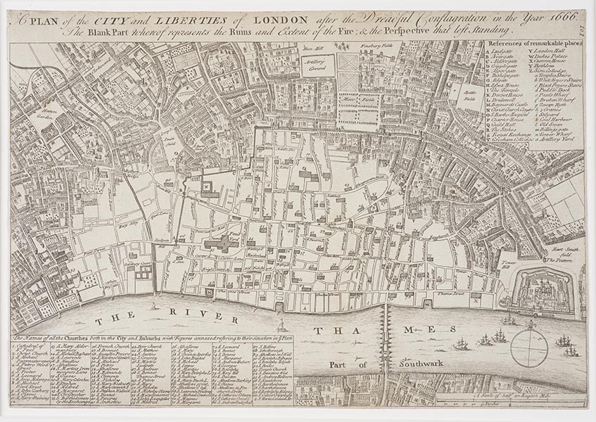
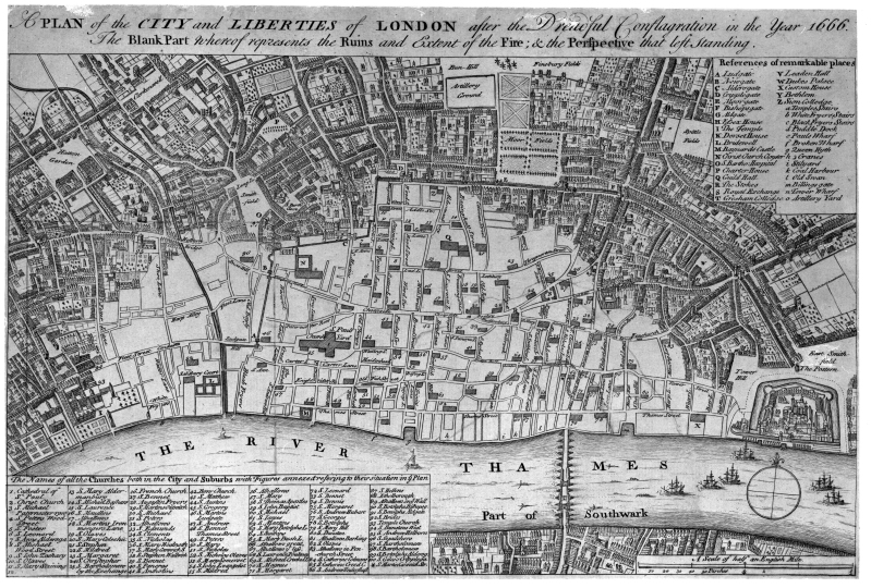
A plan of the City and Liberties of London after the dreadful conflagration in the year 1666
About this object
-
ID:
NN21098
Production date:
1666; 1756
-
Location:
In Store
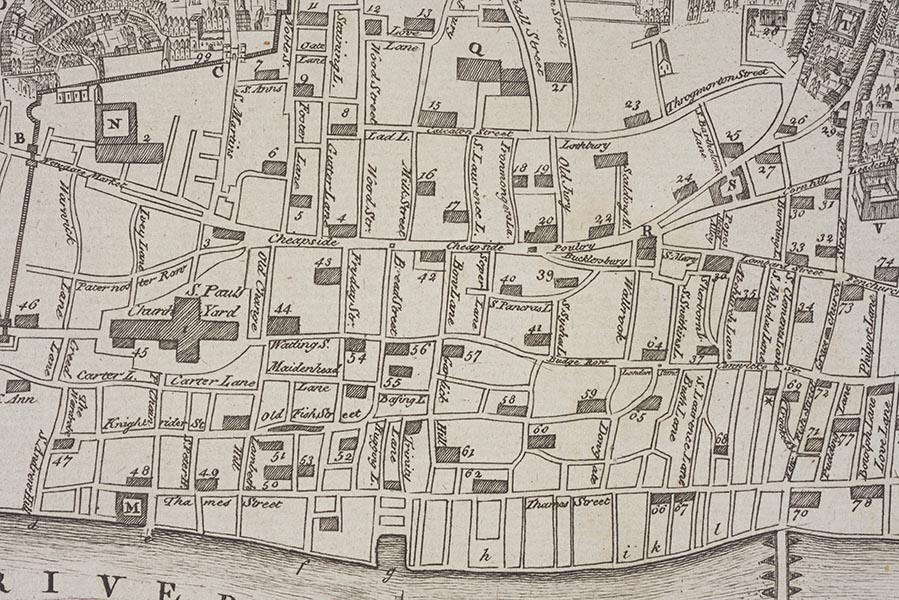
This is an engraving of Wenceslaus Hollar's map of London after the fire. It was printed for William Maitland's History of London in 1756 but is based on Hollar's original map of 1666-67. The white area shows the extent of the ruins - 436 acres in total (373 acres within the City walls and 63 outside). This was about one-quarter of the total size of London at the time. Over the winter this area became the haunt of thieves. They looted the destroyed buildings and dragged passers-by into cellars, robbing them and leaving them for dead. People were afraid to go there at night. The rebuilding started in a piecemeal fashion as and when people found the money. Samuel Rolle commented in 1668 'Is London a village that I see, the houses in it stand so scatteringly?' He also noticed that people were reluctant to move into their new, isolated, homes: 'they refrain to go to them till their neighbourhood be increased'.
-
Measurements
H 225 mm; W 228 mm (overall)
-
Materials
paper; ink
-
Last Updated
2024-03-26
?
Record quality:
What is this?
Not every record in Collections Online is complete. Some have low quality images designed purely for recognition, while some have been catalogued only to a basic standard. This graphic is designed to give you an impression of the quality of data you can see. 100% meets all our current data standards and has a high quality image, 20% is a basic record with no image. Individual record quality can change over time as new photography is carried out and records are worked on.
X